Файл:France map Lambert-93 with regions and departments polygons-blank.svg
Перейти до навігації
Перейти до пошуку

Розмір цього попереднього перегляду PNG для вихідного SVG-файлу: 632 × 600 пікселів. Інші роздільності: 253 × 240 пікселів | 506 × 480 пікселів | 809 × 768 пікселів | 1079 × 1024 пікселів | 2158 × 2048 пікселів | 2000 × 1898 пікселів.
Повна роздільність (SVG-файл, номінально 2000 × 1898 пікселів, розмір файлу: 1,57 МБ)
| Відомості про цей файл містяться на Вікісховищі — централізованому сховищі вільних файлів мультимедіа для використання у проектах Фонду Вікімедіа. |
Опис файлу
| Місцеположення камери | | Перегляньте це та інші зображення поблизу на: OpenStreetMap |
|---|
| Опис |
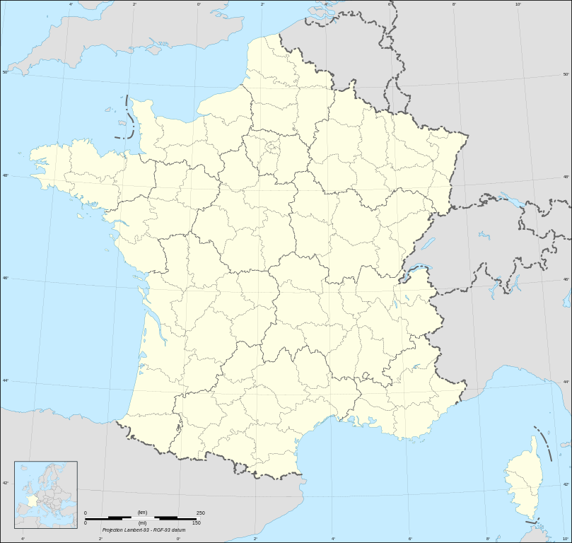
English: Blank map of metropolitan France in the official Lambert-93 projection, with regions and departments as independent polygons. Instructions of use:
Français : Carte vierge de la France métropolitaine suivant la projection officielle Lambert-93, avec régions et départements en tant que polygones indépendants. Instructions d'utilisation :
Lambert-93 projection ; RGF-93 datum |
||
| Час створення | |||
| Джерело |
Own work, derivate from France map Lambert-93 with regions and departments-blank.svg created by myself
|
||
| Автор | Eric Gaba (Sting - fr:Sting) | ||
| Ліцензія (Повторне використання цього файлу) |
|
||
| Інші версії |
Похідні роботи від цього файлу:
[]
Same map but with topography and bathymetry:
|
||
| SVG розвиток | Вихідний код цього SVG-файлу правильний. Це векторне зображення було створено з допомогою Inkscape, or with something else. |


Ліцензування
Я, власник авторських прав на цей твір, добровільно публікую його на умовах таких ліцензій:

|
Дозволяється копіювати, розповсюджувати та/або модифікувати цей документ на умовах ліцензії GNU FDL версії 1.2 або більш пізньої, виданої Фондом вільного програмного забезпечення, без незмінних розділів, без текстів, які розміщені на першій та останній обкладинці. Копія ліцензії знаходиться у розділі GNU Free Documentation License. |
This file is licensed under the Creative Commons Attribution-Share Alike Attribution-Share Alike 4.0 International, 3.0 Unported, 2.5 Generic, 2.0 Generic and 1.0 Generic license.
- Ви можете вільно:
- ділитися – копіювати, поширювати і передавати твір
- модифікувати – переробляти твір
- При дотриманні таких умов:
- зазначення авторства – Ви повинні вказати авторство, надати посилання на ліцензію і вказати, чи якісь зміни було внесено до оригінального твору. Ви можете зробити це в будь-який розсудливий спосіб, але так, щоб він жодним чином не натякав на те, наче ліцензіар підтримує Вас чи Ваш спосіб використання твору.
- поширення на тих же умовах – Якщо ви змінюєте, перетворюєте або створюєте іншу похідну роботу на основі цього твору, ви можете поширювати отриманий у результаті твір тільки на умовах такої ж або сумісної ліцензії.
Ви можете обрати ліцензію на ваш розсуд.
Історія файлу
Клацніть на дату/час, щоб переглянути, як тоді виглядав файл.
| Дата/час | Мініатюра | Розмір об'єкта | Користувач | Коментар | |
|---|---|---|---|---|---|
| поточний | 11:39, 7 травня 2024 | | 2000 × 1898 (1,57 МБ) | Jack ma | Updated regions limits of 2016 |
| 15:18, 19 жовтня 2017 |  | 2000 × 1898 (1,78 МБ) | Sting | No borders over the Lake of Constance | |
| 18:58, 3 лютого 2009 |  | 2000 × 1898 (1,79 МБ) | Sting | == Summary == {{Location|46|15|00|N|02|06|00|E|scale:5000000}} <br/> {{Information |Description={{en|Blank map of France in the official Lambert-93 projection, with regions and departments as independent polygons.<br/> '''''Instructions of |
Використання файлу
Нема сторінок, що використовують цей файл.
Глобальне використання файлу
Цей файл використовують такі інші вікі:
- Використання в fr.wikipedia.org