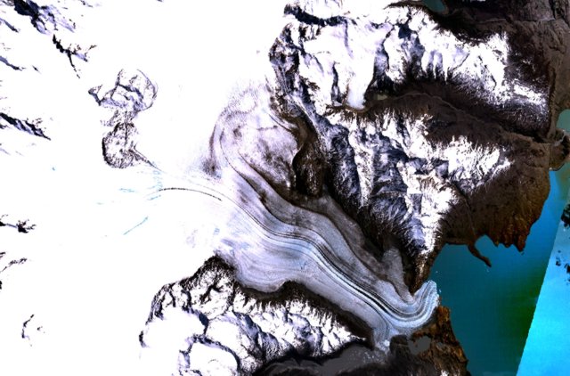
Файл:Viedma volcanic complex.jpg
Перейти до навігації
Перейти до пошуку
Viedma_volcanic_complex.jpg (640 × 422 пікселів, розмір файлу: 64 КБ, MIME-тип: image/jpeg)
Історія файлу
Клацніть на дату/час, щоб переглянути, як тоді виглядав файл.
| Дата/час | Мініатюра | Розмір об'єкта | Користувач | Коментар | |
|---|---|---|---|---|---|
| поточний | 15:37, 15 жовтня 2010 |  | 640 × 422 (64 КБ) | Michael Metzger | {{Information |Description={{en|1= The figure-8-shaped area rising above the Patagonian Icefield at the upper left part of this NASA Landsat mosaic is part of the Viedma volcanic complex. An outflow glacier descends into Lake Viedma at the lower right. Th |
Використання файлу
Такі сторінки використовують цей файл:
Глобальне використання файлу
Цей файл використовують такі інші вікі:
- Використання в arz.wikipedia.org
- Використання в cs.wikipedia.org
- Використання в de.wikipedia.org
- Використання в en.wikipedia.org
- Використання в es.wikipedia.org
- Використання в fr.wikipedia.org
- Використання в he.wikipedia.org
- Використання в pt.wikipedia.org
- Використання в sk.wikipedia.org
- Використання в www.wikidata.org

