Файл:Sochi adler aerial view 2018 23.jpg
Повна роздільність (4063 × 2283 пікселів, розмір файлу: 5,99 МБ, MIME-тип: image/jpeg)
| Відомості про цей файл містяться на Вікісховищі — централізованому сховищі вільних файлів мультимедіа для використання у проектах Фонду Вікімедіа. |
Опис файлу
| Опис |
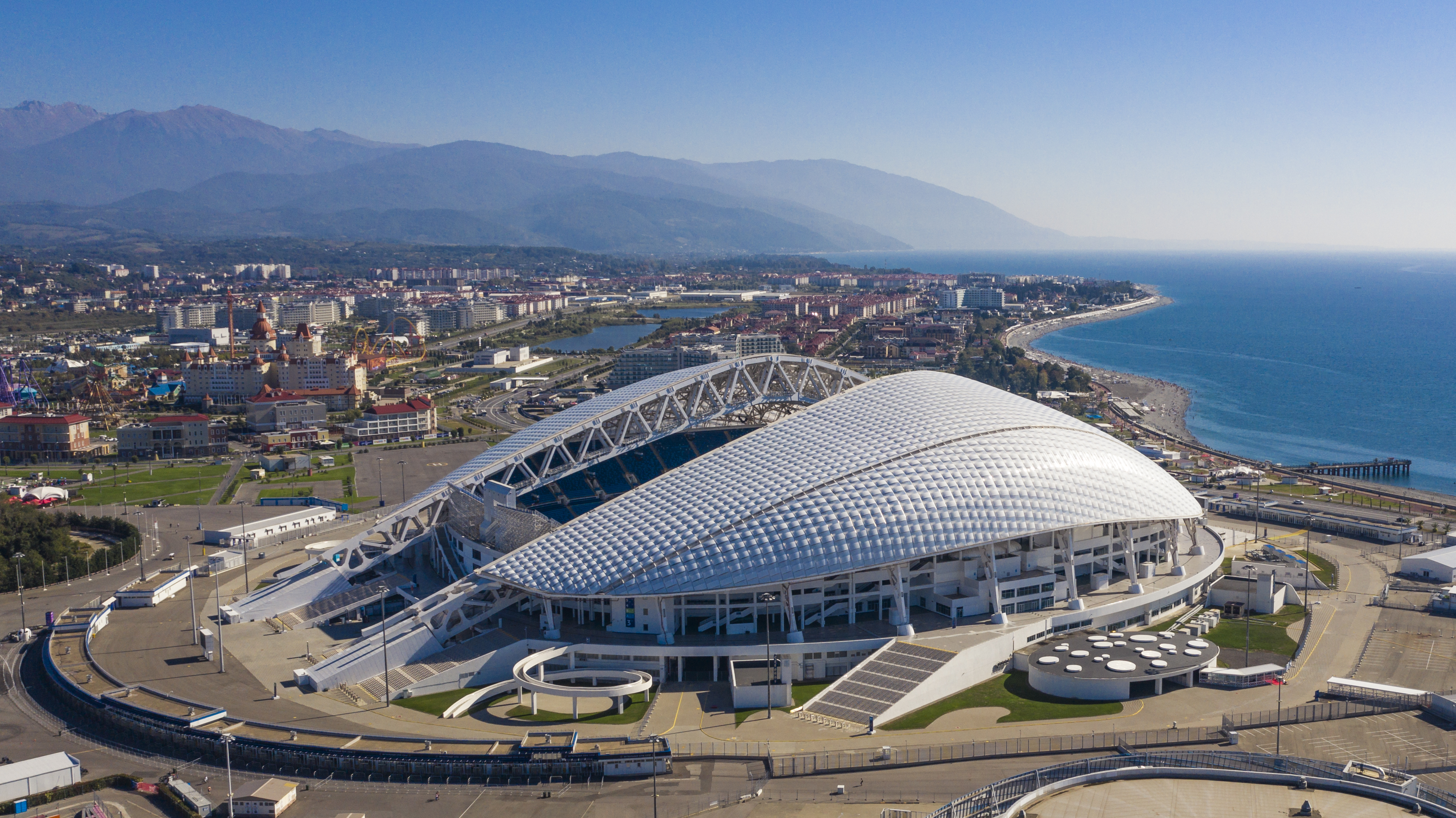
Deutsch: Blick auf den Olympiapark Adler (Sotschi) |
||
| Час створення | |||
| Джерело | Власна робота | ||
| Автор | Arne Müseler | ||
| Ліцензія (Повторне використання цього файлу) |
I published this file as author under the Creative Commons License CC-by-SA-3.0.. This means that a ‘free use outside Wikimedia’s projects’ is only possible under the following conditions:
I would be very grateful if you could send me a specimen copy of the photo/map or the details of the website where the photo/map will be used. Basically, all my photos and maps can be licensed under the conditions of the Mittelstandsgemeinschaft Foto-Marketing (MFM). Please send an email to lizenz AT arne-mueseler.de if you
Arne Müseler / www.arne-mueseler.com, власник авторських прав на цей твір, добровільно публікує його на умовах такої ліцензії: Цей файл доступний на умовах ліцензії Creative Commons Attribution-Share Alike 3.0 Germany. Зазначення авторства: Arne Müseler / www.arne-mueseler.com
 |
Це зображення було оцінене з використанням настанови про якісні зображення та вважається якісним зображенням.
|
| Місцеположення камери | | Перегляньте це та інші зображення поблизу на: OpenStreetMap |
|---|
Quality images on Wikimedia Commons - Photographs by Arne Müseler
Історія файлу
Клацніть на дату/час, щоб переглянути, як тоді виглядав файл.
| Дата/час | Мініатюра | Розмір об'єкта | Користувач | Коментар | |
|---|---|---|---|---|---|
| поточний | 16:23, 18 листопада 2019 | | 4063 × 2283 (5,99 МБ) | Arne Müseler | User created page with UploadWizard |
Використання файлу
Нема сторінок, що використовують цей файл.
Глобальне використання файлу
Цей файл використовують такі інші вікі:
- Використання в ar.wikipedia.org
- Використання в ast.wikipedia.org
- Використання в ban.wikipedia.org
- Використання в be-tarask.wikipedia.org
- Використання в bn.wikipedia.org
- Використання в ca.wikipedia.org
- Використання в cs.wikipedia.org
- Використання в de.wikipedia.org
- Використання в de.wikivoyage.org
- Використання в el.wikipedia.org
- Використання в en.wikipedia.org
- Sochi
- Architecture of Russia
- List of Asian stadiums by capacity
- Fisht Olympic Stadium
- 2018 FIFA World Cup
- 2017 FIFA Confederations Cup
- Sochi Olympic Park
- 2019–20 Russian Premier League
- User:Arne Müseler
- 2020–21 Russian Premier League
- 2021–22 Russian Premier League
- 2022–23 Russian Premier League
- 2023–24 Russian Premier League
- Використання в es.wikipedia.org
- Використання в eu.wikipedia.org
- Використання в fr.wikipedia.org
- Використання в ga.wikipedia.org
- Використання в he.wikipedia.org
- Використання в hu.wikipedia.org
- Використання в hy.wikipedia.org
Переглянути сторінку глобального використання цього файлу.