Файл:China Tibet Autonomous Region adm location map.svg

Повна роздільність (SVG-файл, номінально 2013 × 1137 пікселів, розмір файлу: 510 КБ)
| Відомості про цей файл містяться на Вікісховищі — централізованому сховищі вільних файлів мультимедіа для використання в проектах Фонду Вікімедіа. |
Опис файлу
| Опис |
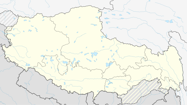
Deutsch: Positionskarte des Autonomen Gebiets Tibet, Volksrepublik China
English: Location map of the Tibet Autonomous Region, People's Republic of China
|
||||||||||||
| Час створення | |||||||||||||
| Джерело |
Власний твір з використанням:
|
||||||||||||
| Автор | NordNordWest | ||||||||||||
| Інші версії |
|
||||||||||||


|
This map has been made or improved in the German Kartenwerkstatt (Map Lab). You can propose maps to improve as well.
|
Ліцензування
Usage of this file with:

explanatory notes: Legally binding is only the full legalcode. For a free usage I recommend to respect the following licence conditions:
1. Provide my name as given above: NordNordWest,
2. a copy of, or the URI for, the applicable license: https://creativecommons.org/licenses/by-sa/3.0/de/legalcode,
3. the title of the work,
4. in the case of an adaptation, a credit identifying the use of the work in the adaptation.
This license and the rights granted hereunder will terminate automatically upon any breach by you of the terms of this license. Any of the above conditions can be waived if you get permission from the copyright holder. If you have questions or wish differing conditions, please contact me through nnwest or my discussion page ![]() t-online.de
t-online.de
- Ви можете вільно:
- ділитися – копіювати, поширювати і передавати твір
- модифікувати – переробляти твір
- При дотриманні таких умов:
- зазначення авторства – Ви повинні вказати авторство, надати посилання на ліцензію і вказати, чи якісь зміни було внесено до оригінального твору. Ви можете зробити це в будь-який розсудливий спосіб, але так, щоб він жодним чином не натякав на те, наче ліцензіар підтримує Вас чи Ваш спосіб використання твору.
- поширення на тих же умовах – Якщо ви змінюєте, перетворюєте або створюєте іншу похідну роботу на основі цього твору, ви можете поширювати отриманий у результаті твір тільки на умовах такої ж або сумісної ліцензії.

Історія файлу
Клацніть на дату/час, щоб переглянути, як тоді виглядав файл.
| Дата/час | Мініатюра | Розмір об'єкта | Користувач | Коментар | |
|---|---|---|---|---|---|
| поточний | 17:59, 13 квітня 2020 | | 2013 × 1137 (510 КБ) | NordNordWest | c |
| 11:23, 29 травня 2016 |  | 2013 × 1137 (508 КБ) | NordNordWest | == {{int:filedesc}} == {{Information |Description= {{de|1=Positionskarte des Autonomen Gebiets Tibet, Volksrepublik China}} {{en|1=Location map of the Tibet Autonomous Region, People's Republic of China}} {{Location map series N |stretching=118 |top=37... |
Використання файлу
Такі сторінки використовують цей файл:
Глобальне використання файлу
Цей файл використовують такі інші вікі:
- Використання в ca.wikipedia.org
- Використання в de.wikipedia.org
- Використання в en.wikipedia.org
- Lhasa
- Potala Palace
- Samzhubzê, Xigazê
- Samye
- Gorakshep
- Norbulingka
- Lhünzhub County
- Damxung County
- Nyêmo County
- Qüxü County
- Doilungdêqên, Lhasa
- Dagzê, Lhasa
- Maizhokunggar County
- Tingri (town)
- Tashi Lhunpo Monastery
- Sera Monastery
- Ganden Monastery
- Drepung Monastery
- Yadong County
- Gartok
- Mindrolling Monastery
- Karub, Qamdo
- Palcho Monastery
- Drigung Monastery
- Tsurphu Monastery
- Shelkar
- Rudok
- Phari
- Rongbuk Monastery
- Shiquanhe
- Chengguan, Chamdo
- Dêqên, Lhasa
- Muru Nyingba Monastery
- Ramoche Temple
- Tsetang
- Rutog County
- Purang County
- Milarepa's Cave, Nyalam
- Nyalam Town
- Yangbajain
- Dangquka
- Nagqu Town
- Arza
Переглянути сторінку глобального використання цього файлу.