Файл:Thailand adm location map.svg

Повна роздільність (SVG-файл, номінально 1051 × 1849 пікселів, розмір файлу: 662 КБ)
| Відомості про цей файл містяться на Вікісховищі — централізованому сховищі вільних файлів мультимедіа для використання в проектах Фонду Вікімедіа. |
Опис файлу
| Опис |
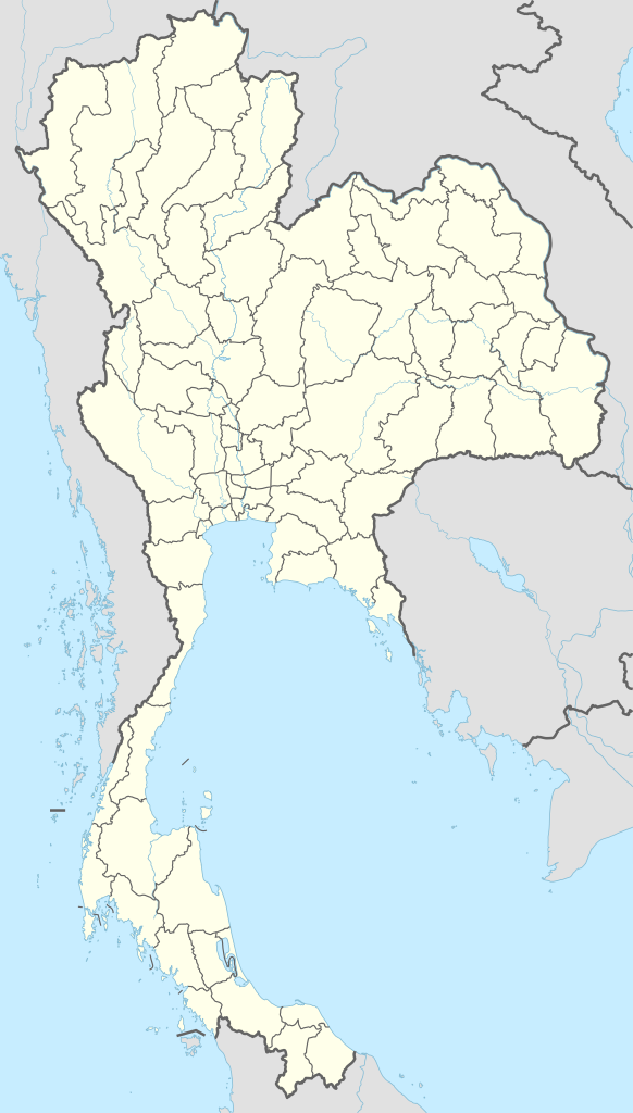
Deutsch: Positionskarte von Thailand
English: Location map of Thailand
|
||||||||||||
| Час створення | |||||||||||||
| Джерело |
Власний твір з використанням:
|
||||||||||||
| Автор | NordNordWest | ||||||||||||
| SVG розвиток | Вихідний код цього SVG-файлу правильний. Це векторне зображення було створено з допомогою Adobe Illustrator
|
||||||||||||

Ліцензування
Usage of this file with:

explanatory notes: Legally binding is only the full legalcode. For a free usage I recommend to respect the following licence conditions:
1. Provide my name as given above: NordNordWest,
2. a copy of, or the URI for, the applicable license: https://creativecommons.org/licenses/by-sa/3.0/de/legalcode,
3. the title of the work,
4. in the case of an adaptation, a credit identifying the use of the work in the adaptation.
This license and the rights granted hereunder will terminate automatically upon any breach by you of the terms of this license. Any of the above conditions can be waived if you get permission from the copyright holder. If you have questions or wish differing conditions, please contact me through nnwest or my discussion page ![]() t-online.de
t-online.de
- Ви можете вільно:
- ділитися – копіювати, поширювати і передавати твір
- модифікувати – переробляти твір
- При дотриманні таких умов:
- зазначення авторства – Ви повинні вказати авторство, надати посилання на ліцензію і вказати, чи якісь зміни було внесено до оригінального твору. Ви можете зробити це в будь-який розсудливий спосіб, але так, щоб він жодним чином не натякав на те, наче ліцензіар підтримує Вас чи Ваш спосіб використання твору.
- поширення на тих же умовах – Якщо ви змінюєте, перетворюєте або створюєте іншу похідну роботу на основі цього твору, ви можете поширювати отриманий у результаті твір тільки на умовах такої ж або сумісної ліцензії.

Історія файлу
Клацніть на дату/час, щоб переглянути, як тоді виглядав файл.
| Дата/час | Мініатюра | Розмір об'єкта | Користувач | Коментар | |
|---|---|---|---|---|---|
| поточний | 18:37, 1 грудня 2014 | | 1051 × 1849 (662 КБ) | NordNordWest | == {{int:filedesc}} == {{Information |Description= {{de|1=Positionskarte von Thailand}} {{en|1=Location map of Thailand}} {{Location map series N |stretching=103 |top=20.6 |bottom=5.4 |left=97.1 |right=106.0 }} |Source={{Own using}} * United States Nat... |
Використання файлу
Такі сторінки використовують цей файл:
- RA6 – Бангкок-Південь
- The River (хмарочос)
- WK5 – Накхонратчасіма
- Аеропорт Самуї
- Бангкок
- Бангкок–Донмианг
- Бангпаконг – Бангкок-Південь/Талуанг/Каенгкой
- Бангпаконг – Вангной
- Вангной – Каенгкой
- Вангной – Накхонсаван
- Ват Арун
- Ват Бенчамабопхіт
- Ват Махатхат
- Ват Па Луангта Буа Янасампанно
- Ват Пхра Кео
- Ват Пхра Тхат Харіпхунчай
- Ват Ронг Кхун
- Великий палац
- Газотранспортний коридор Сіамська затока – Районг – Бангпаконг
- Ераван – Ханом
- Канчанабурі
- Крабі
- Кхонкен
- Магістраль Банг На
- Міжнародний аеропорт У-Тапао
- Міні-Сіам
- Міст тайсько-лаоської дружби
- Накхонсітхаммарат (місто)
- Нан (Таїланд)
- Нонтхабурі (місто)
- П'ятий трубопровід
- Паттая
- Пха Таем
- Пханган
- Пхаяу
- Пхра Тхат Кхао Ной
- Пхукет (місто)
- Пхітсанулок
- Пілок – Ратчабурі
- Ратчабурі – Вангной
- Сонгкхла (місто)
- Сураттхані (місто)
- Сіам-Парагон
- Сінфухорн – Намфонг
- Трат (аеропорт)
- Удонтхані
- Храм Істини
- Хуахін
- Чантхабурі
- Четвертий трубопровід
- Чонбурі (місто)
- Чіангмай
- Чітралада
- Модуль:Location map/data/Таїланд
- Модуль:Location map/data/Таїланд/документація
Глобальне використання файлу
Цей файл використовують такі інші вікі:
- Використання в af.wikipedia.org
- Використання в ast.wikipedia.org
- Bangkok
- Golfu de Tailandia
- Bang Na Expressway
- Ismu de Kra
- Ríu Chao Phraya
- Surat Thani
- Rayong
- Gran Palaciu de Bangkok
- Palaciu Chitralada
- Módulu:Mapa de llocalización/datos/Tailandia
- Módulu:Mapa de llocalización/datos/Tailandia/usu
- Rescate de la cueva Tham Luang
- Royal City Avenue
- Aeropuertu Internacional Suvarnabhumi
- Aeropuertu de Surat Thani
- Puertu de Bangkok
- GMM Grammy
- Використання в azb.wikipedia.org
- Використання в ban.wikipedia.org
- Piala Thomas miwah Uber 2022
- Taman Nasional Hat Chao Mai
- Taman Nasional Khao Kho
- Taman Nasional Phu Soi Dao
- Taman Nasional Huai Nam Dang
- Taman Nasional Khun Chae
- Taman Nasional Mae Wang
- Taman Nasional Namtok Mae Surin
- Taman Nasional Nam Nao
- Taman Nasional Pang Sida
- Taman Nasional Pa Hin Ngam
- Taman Nasional Phu Chong–Na Yoi
- Taman Nasional Phu Toei
- Taman Nasional Salawin
- Taman Nasional Si Satchanalai
- Taman Nasional Doi Phu Nang
- Taman Nasional Doi Luang
- Taman Nasional Doi Khun Tan
- Taman Nasional Doi Pha Hom Pok
Переглянути сторінку глобального використання цього файлу.